Interpretations of the Adriatic through Cartography
Carlo PONGETTI | University of Macerata
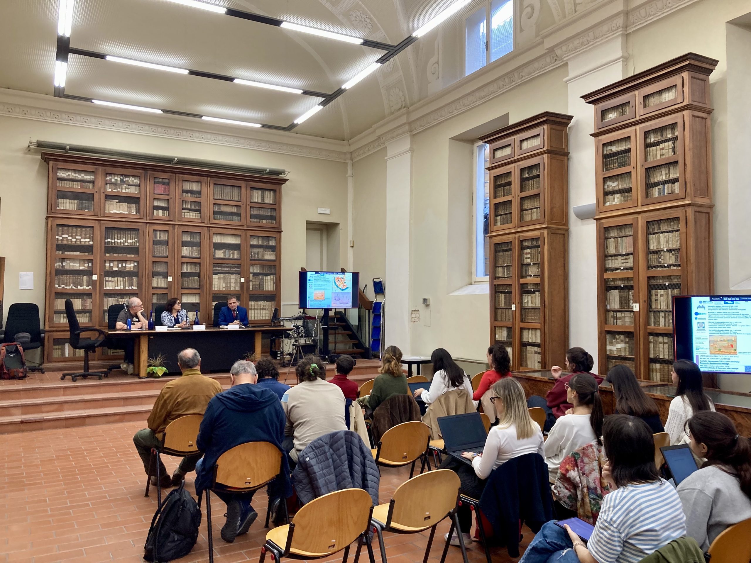
The 8th cycle of seminars on Adriatic Humanism, now also sponsored by the Deputation of Homeland History for the Marche region, was inaugurated by Prof. Carlo Pongetti. In his presentation, he reviewed the various forms and methods through which the Adriatic Sea has been depicted in cartographic tradition up until the early modern period. The documents examined highlighted the heterogeneous aspects derived from the representation of this sea, always tied to the historical and political context of the time.
Many significant examples were discussed, such as the Tabula Peutingeriana and the Carta Pisana, the first medieval cartographic product outside of ecumenical cartography. Among the figures mentioned (Grazioso Benincasa, Giacomo Gastaldi, Vincenzo Coronelli), the Pavian Opicino de Canistris, active in Avignon in the first half of the 14th century, stands out. A proponent of moral cartography, he left behind a figural autobiography containing a peculiar etymological play (ms. Vatican City, Pal. lat. 1993, f. 11r) and a series of anthropomorphic maps. In the manuscript Vaticanus Latinus 6435 (1337-1341), f. 77r, we find the depiction of Europe and Africa, portrayed respectively as a woman and a man. In the reference to the political tensions of the time, where the sea appears as a demonic figure seemingly representing the carnal union between the two continents, the true target is Venice, demonized for its relations with the East.
The lively debate following the presentation provided further points for reflection and new opportunities for discussion. The idea of the Adriatic Sea as a hybrid space emerged, a sea of both relations and oppositions.
Thanks to everyone for participating, and see you on October 22nd for an ‘experimental seminar’ dedicated this time to a map of Renaissance knowledge.